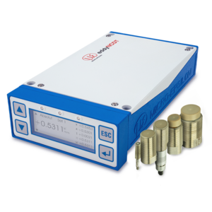
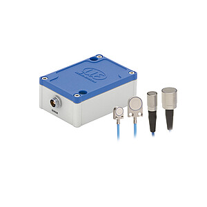
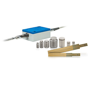
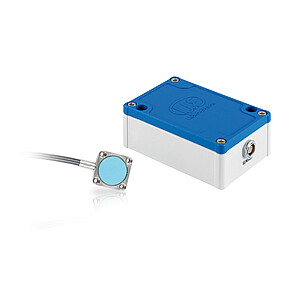
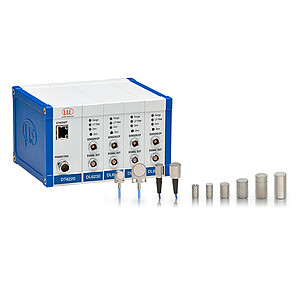
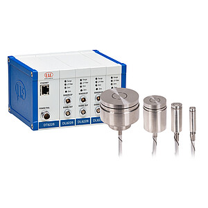
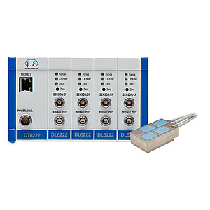
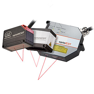
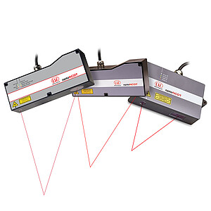
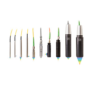
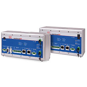
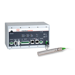
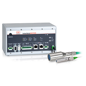
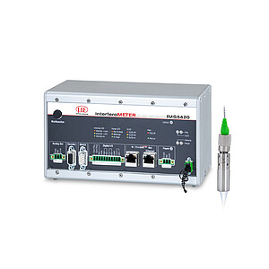
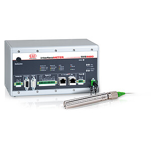
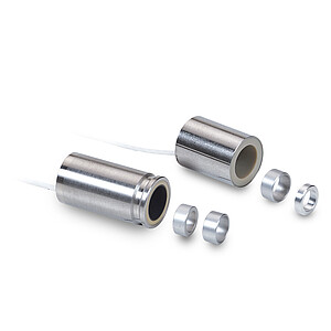
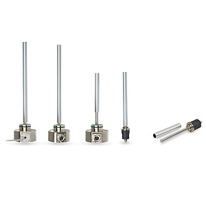
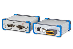
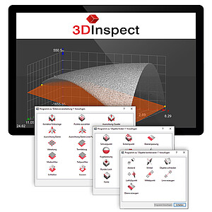
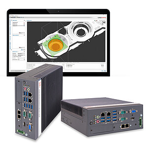
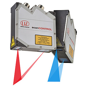
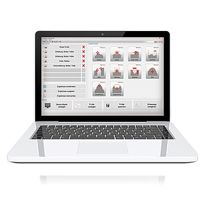
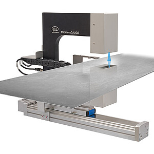
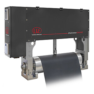
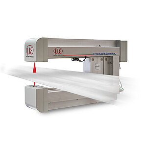
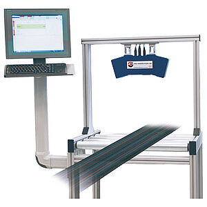
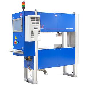
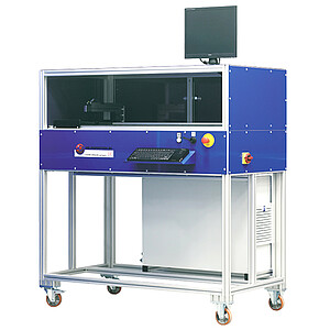
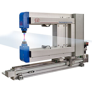
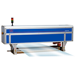
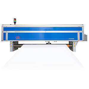
3DInspect: Powerful software for all Micro-Epsilon 3D sensors
3DInspect is a uniform and user-friendly software tool for all 3D sensors from Micro-Epsilon. Parameter setting of the 3D sensors and recording of the measurement data are done directly in the 3DInspect software. Powerful tools allow point cloud alignment and filtering, intuitive detection and selection of relevant areas, and program combination. The 3D point clouds can be processed as required and measured values can be output to the controller.
Characteristics
- One software for all Micro-Epsilon 3D sensors
- High compatibility
- High flexibility for online and offline evaluation
- Easy operation via intuitive user interface
- Real 3D evaluation, not only 2.5D
- Object extraction in 3D
- Direct feedback in algorithms
- Output directly to controller (UDP, TCP, Modbus, Ethernet/IP, Profinet)
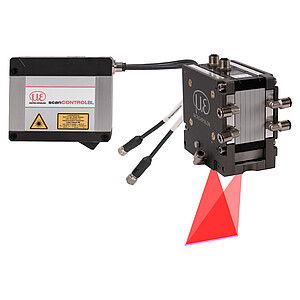
Valid3D: Real 3D point clouds without data loss
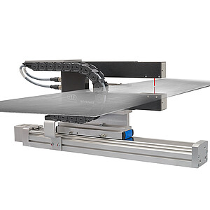
1) Measuring object 2) Point cloud 3) Real 3D data even after rotation of the point cloud
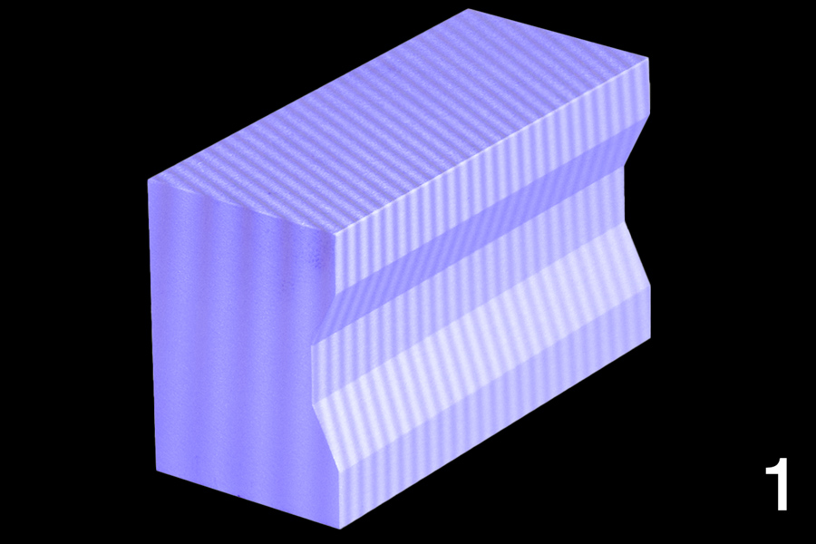
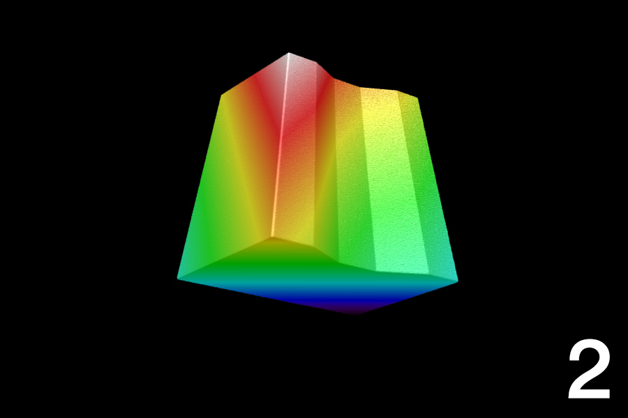
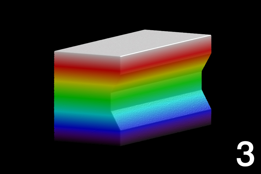
The unique Valid3D technology enables lossless display and processing of the point clouds. This is how scanned 3D objects can be moved arbitrarily in the coordinate system.
Advantages:
- Real 3D image of test object without data loss
- Analysis and evaluation of the complete test object
- Real 3D data instead of 2.5D evaluation
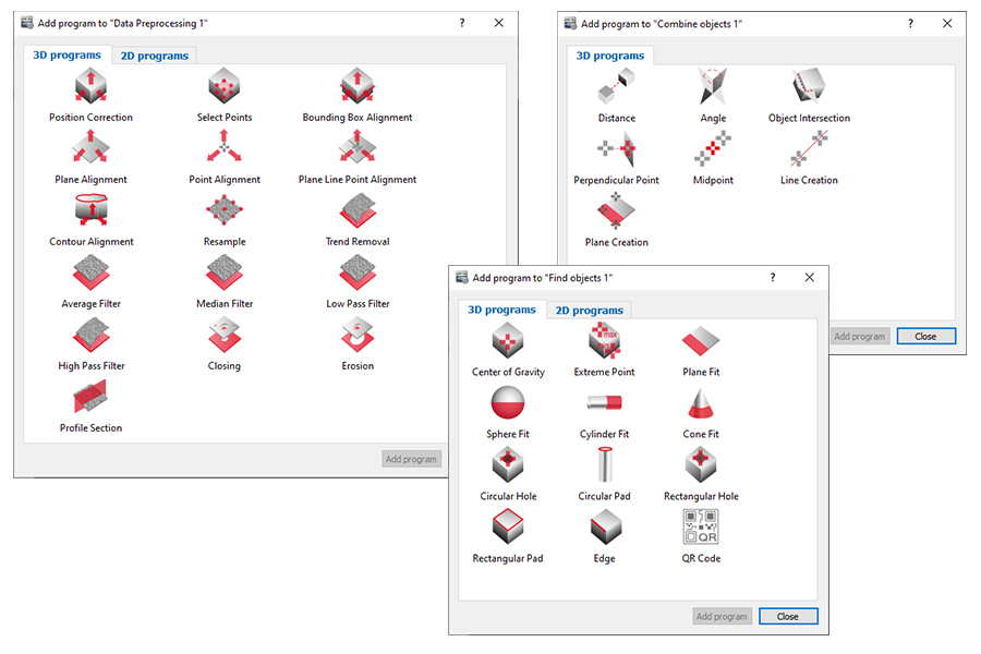
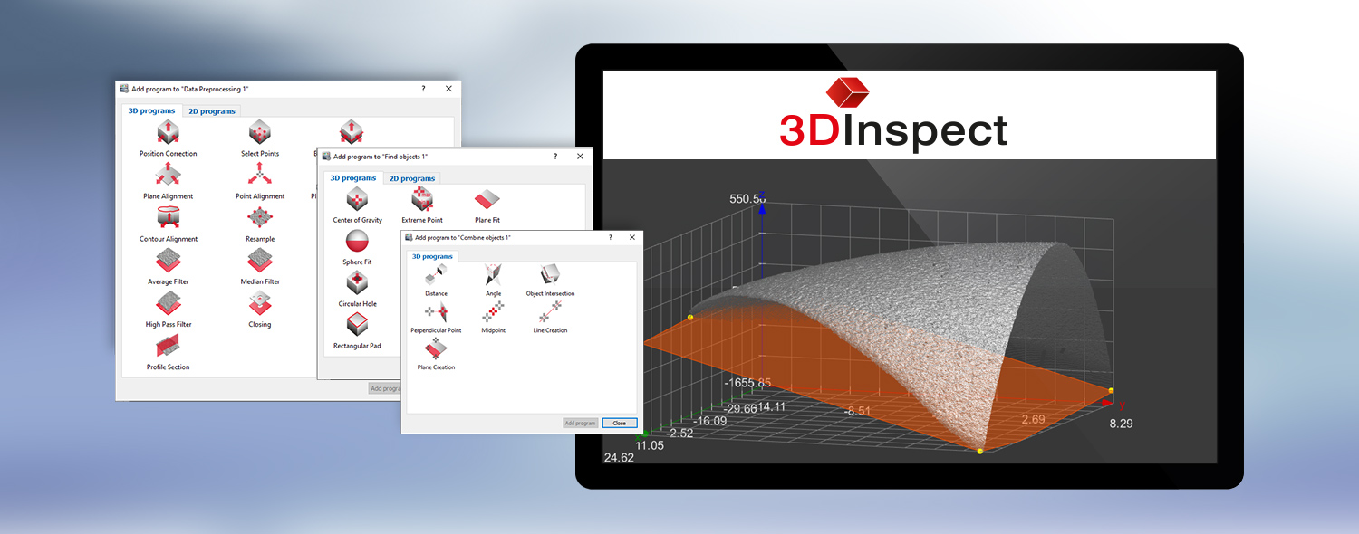
Powerful programs for 3D evaluation
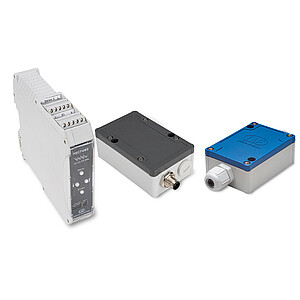
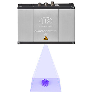
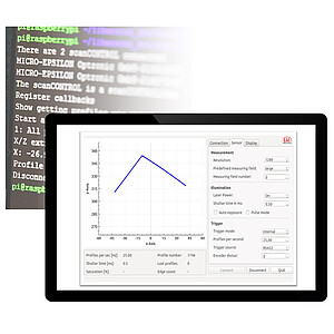
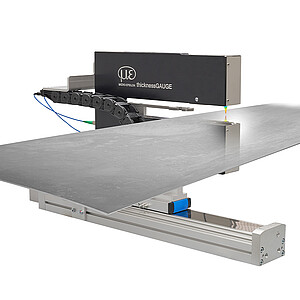
3DInspect transmits the measurement data from the sensor via Ethernet to a PC and provides the data in three-dimensional form. For further processing, evaluation and assessment, the software has powerful measurement programs. The pre-configured measuring programs are divided into the categories »Data preprocessing«, »Find objects« as well as in »Combine objects« and allow various setting options, e.g.:
- Simple alignment of the point cloud
- Filtering of the entire point cloud for smoothing and optimization
- Simple selection of the region of interest e.g. edge, center, maximum point, pad
- Calculation programs for distances, heights, angles, radii
- Signal output OK/nOK